For resilience networks
Coordinate community response around one live operating picture.
Bring volunteers, neighborhood groups, clubs, and NGOs onto the same incident map so they can share what they see without duplicating effort.
19+ live data sources
Built for mobile field reporting
Free and open source
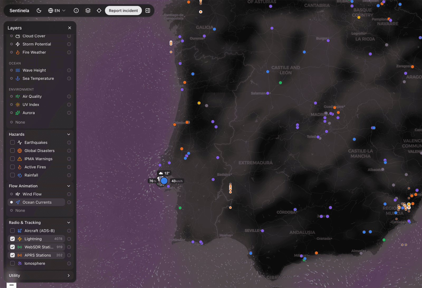
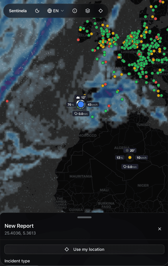
Share one live picture
Keep everyone oriented around the same reports, locations, and updates instead of parallel chat threads and spreadsheets.
Reduce duplication in the field
See what has already been reported, what still needs validation, and where local blind spots remain.
Route stronger signal onward
When an incident becomes credible and urgent, the map and context make it easier to brief authorities or partner organizations.