For municipalities
Get earlier local signal before scattered calls become blind spots.
Sentinela gives municipal teams and civil protection a shared view of community reports, weather context, and hazard overlays while incidents are still developing.
19+ live data sources
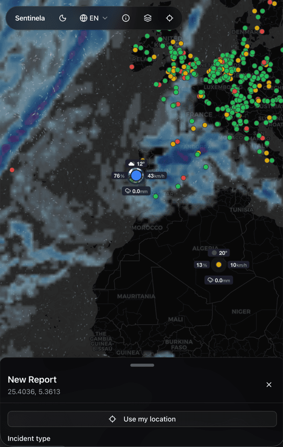
Built for mobile field reporting
Free and open source
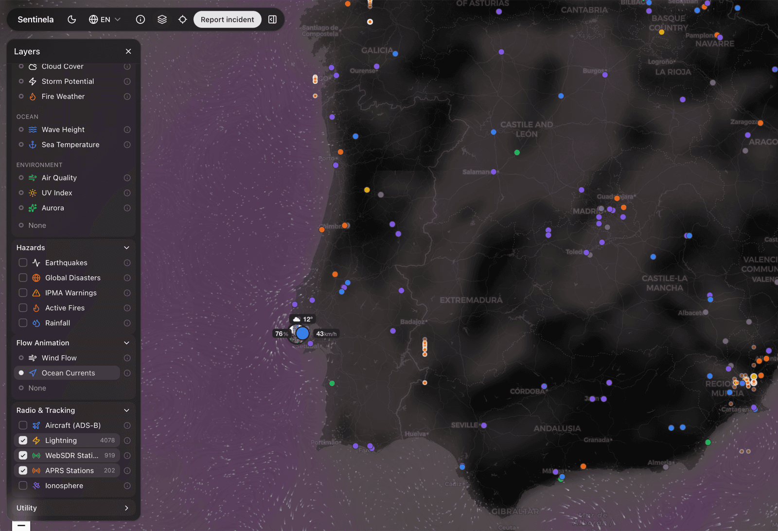
See emerging issues on one map
Bring ground reports, locations, and media into one operating view instead of piecing events together from fragmented channels.
Cross-check with live context
Layer rainfall, wind, warnings, fires, and other signals over reports before dispatch or escalation decisions are made.
Escalate with less rewriting
Structured incident details and supporting context reduce handoff friction when an event needs formal follow-up.