For residents
Help your community spot disruption sooner.
Report storms, floods, fires, road closures, and other fast-moving local disruptions on a live map that others can verify and use.
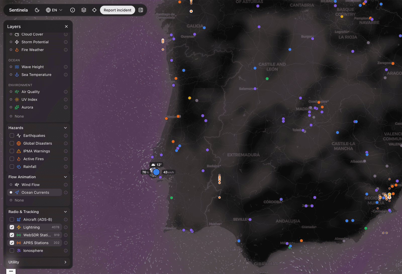
19+ live data sources
Built for mobile field reporting
Free and open source
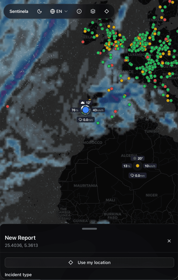
Report from the ground
Pin the location, add images, and describe what is changing without specialist tooling or long forms.
Let the community confirm it
Neighbors can add updates, verify what is real, and help separate signal from rumor before it spreads.
Make the picture easier to act on
Live hazard layers give your report more context so responders and residents are not working from a single datapoint.