UV Index
TEMIS - Tropospheric Emission Monitoring Internet Service
Coverage: Global · Update frequency: Daily · Format: NetCDF/ASCII
Overview
The TEMIS (Tropospheric Emission Monitoring Internet Service) UV index is derived from satellite observations of ozone and cloud cover, combined with solar geometry calculations. It indicates the strength of UV radiation at the Earth's surface.
How Sentinela Uses This Data
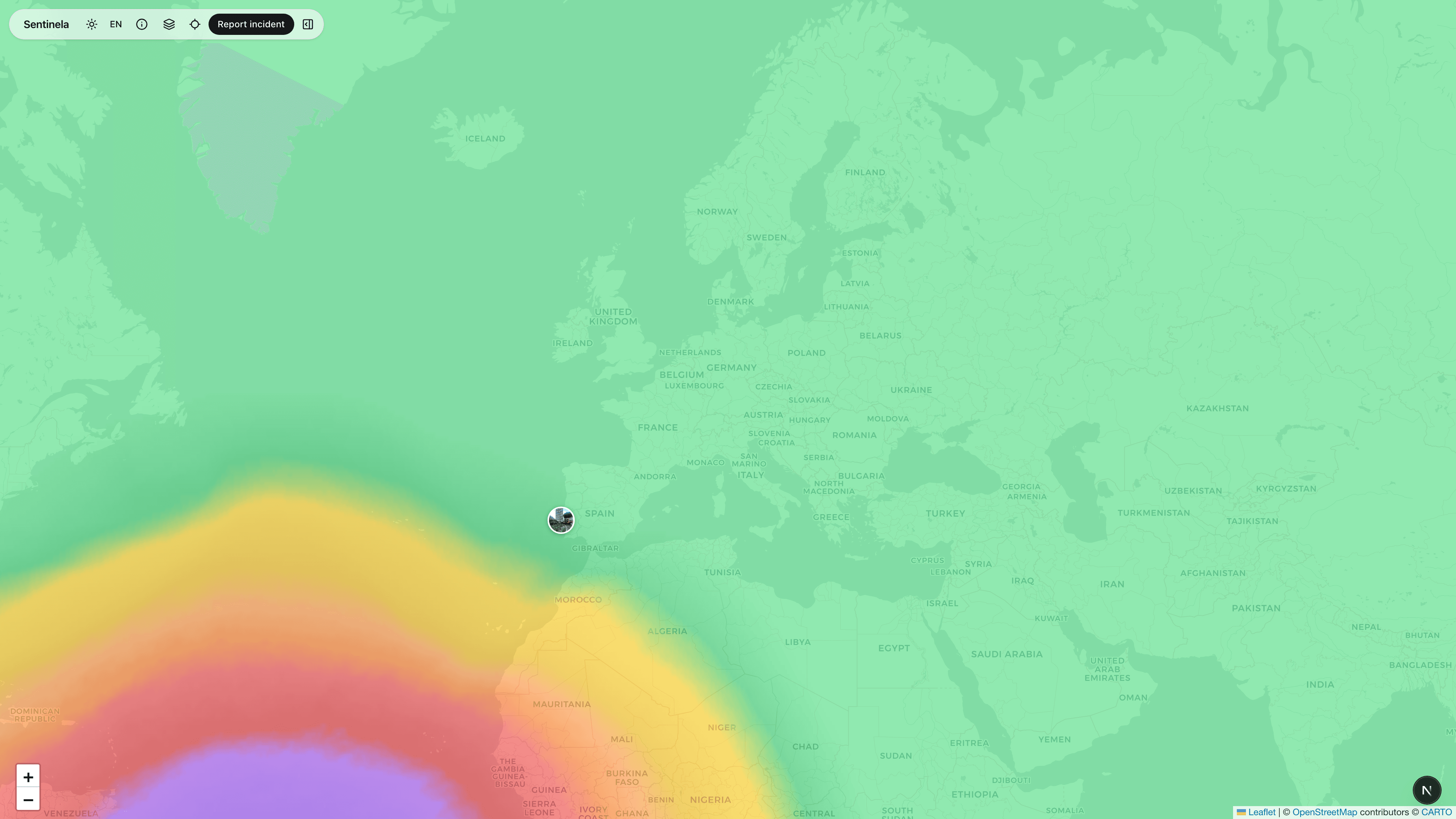
UV index values are displayed as a color-coded overlay from green (low) through yellow and orange to purple (extreme). This helps users understand sun protection needs.
Data Processing
Daily UV index maps are fetched from TEMIS. Values are interpolated to our display grid and rendered as a semi-transparent overlay.
Limitations & Considerations
UV index is a daily average and doesn't reflect real-time cloud variations. Actual UV exposure depends on many factors including altitude, surface reflection, and time of day.