GFS Weather Forecast
NOAA Global Forecast System
Coverage: Global (0.25° resolution) · Update frequency: Every 6 hours · Format: GRIB2
Overview
The Global Forecast System (GFS) is a weather forecast model produced by the National Centers for Environmental Prediction (NCEP). It provides forecasts for temperature, humidity, precipitation, cloud cover, and atmospheric instability (CAPE) out to 16 days.
How Sentinela Uses This Data
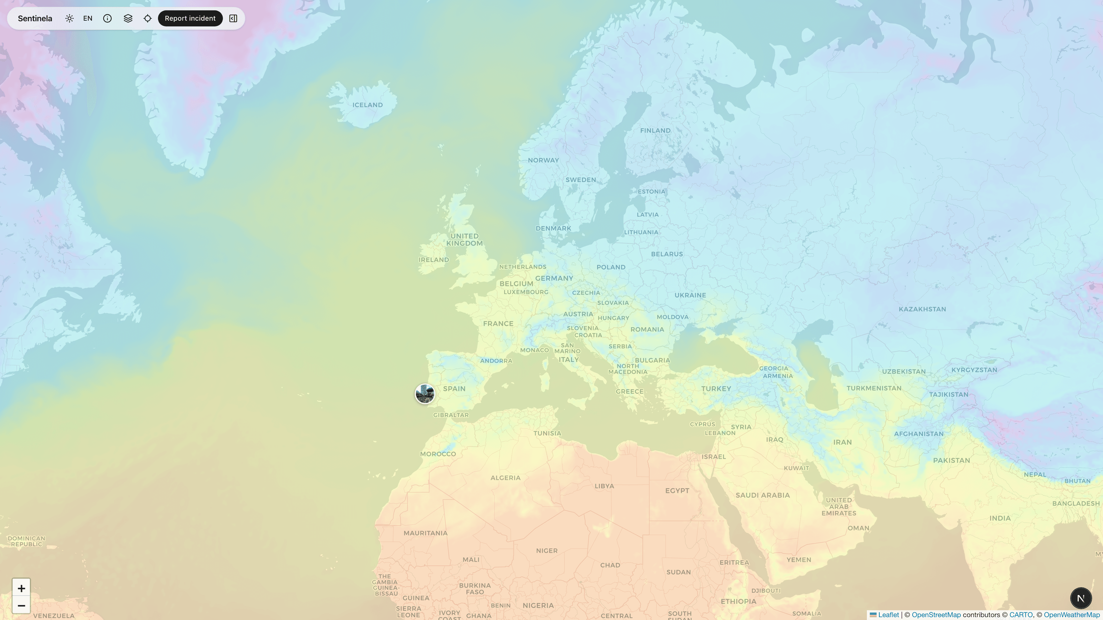
We display GFS forecast data as color-coded overlays on the map. Available layers include 2m temperature, relative humidity, precipitation accumulation, cloud cover, and CAPE (storm potential). Users can see current conditions and near-term forecasts.
Data Processing
GFS data is fetched from NOAA NOMADS servers in GRIB2 format. We extract relevant parameters, interpolate to our display grid, and generate map tiles. Data is refreshed every 6 hours when new GFS runs complete.
Limitations & Considerations
GFS has a resolution of 0.25° (~25km), so local variations may not be captured. Forecast accuracy decreases with time. Some parameters like precipitation can have significant uncertainty.