Earthquakes
USGS Earthquake Hazards Program
Coverage: Global · Update frequency: Real-time (1-2 min delay) · Format: GeoJSON
Overview
The USGS Earthquake Hazards Program provides real-time earthquake data from a global network of seismometers. The program monitors and reports earthquakes worldwide, providing magnitude, location, depth, and other parameters for each event.
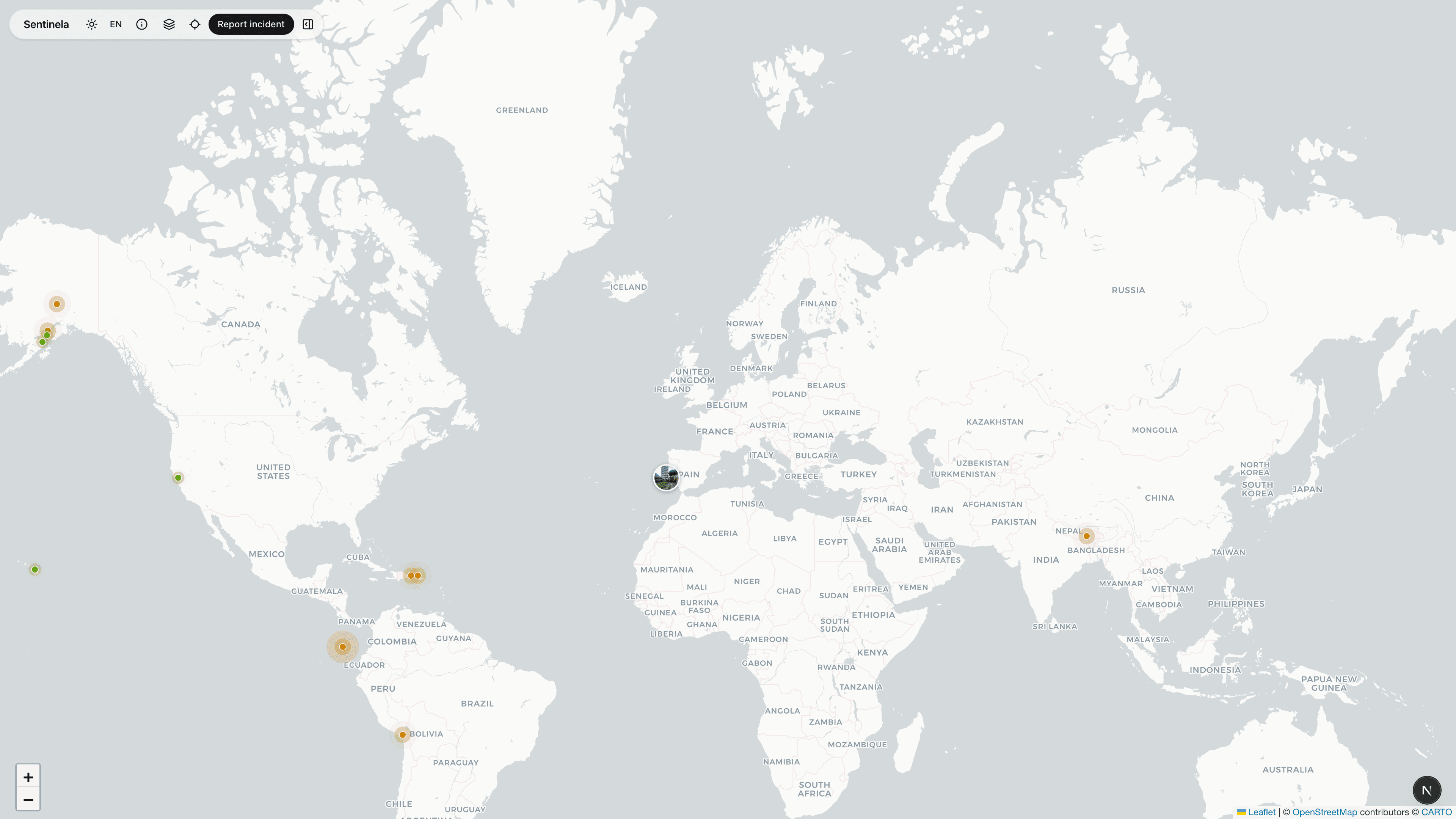
How Sentinela Uses This Data
Sentinela fetches earthquake data filtered by time range and minimum magnitude. Events are displayed as markers on the map with size proportional to magnitude. Clicking an earthquake shows detailed information including magnitude, depth, location, and a link to the USGS event page.
Data Processing
Data is fetched from the USGS GeoJSON feed every 2 minutes. We filter events based on the user's selected time range (1h, 6h, 24h, 7d) and apply a minimum magnitude threshold to avoid cluttering the map with very small earthquakes.
Limitations & Considerations
There may be a 1-5 minute delay between when an earthquake occurs and when it appears in our feed. Very small earthquakes (< M2.5) may not be detected in all regions. Preliminary data may be revised as more seismic stations report.