Aircraft Tracking
OpenSky Network
Coverage: Global (ADS-B coverage) · Update frequency: Real-time (5-10 sec) · Format: JSON
Overview
The OpenSky Network is a community-based receiver network that collects ADS-B (Automatic Dependent Surveillance-Broadcast) data from aircraft. This provides real-time position, altitude, speed, and identification for most commercial and many private aircraft.
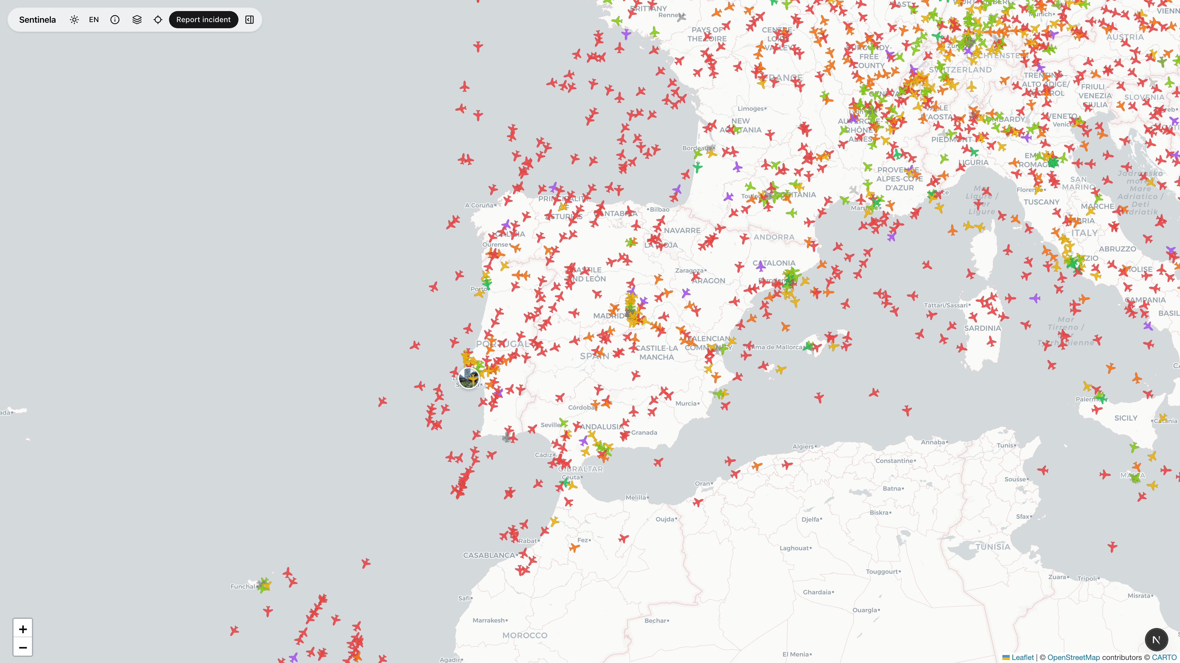
How Sentinela Uses This Data
Aircraft are displayed as icons on the map, rotated to show heading. Clicking an aircraft shows flight details including callsign, altitude, speed, and origin/destination when available.
Data Processing
Aircraft data is fetched from OpenSky when the user pans or zooms the map. We filter to the visible map area to reduce data volume and improve performance.
Limitations & Considerations
Coverage depends on community receiver distribution - some regions have gaps. Not all aircraft transmit ADS-B. Military and some private aircraft may not appear. Data has a 5-10 second delay.