Global Disasters
GDACS - Global Disaster Alert and Coordination System
Coverage: Global · Update frequency: Real-time · Format: GeoRSS/XML
Overview
The Global Disaster Alert and Coordination System (GDACS) is a cooperation framework between the United Nations, the European Commission, and disaster managers worldwide. It provides near real-time alerts about natural disasters and tools to facilitate response coordination.
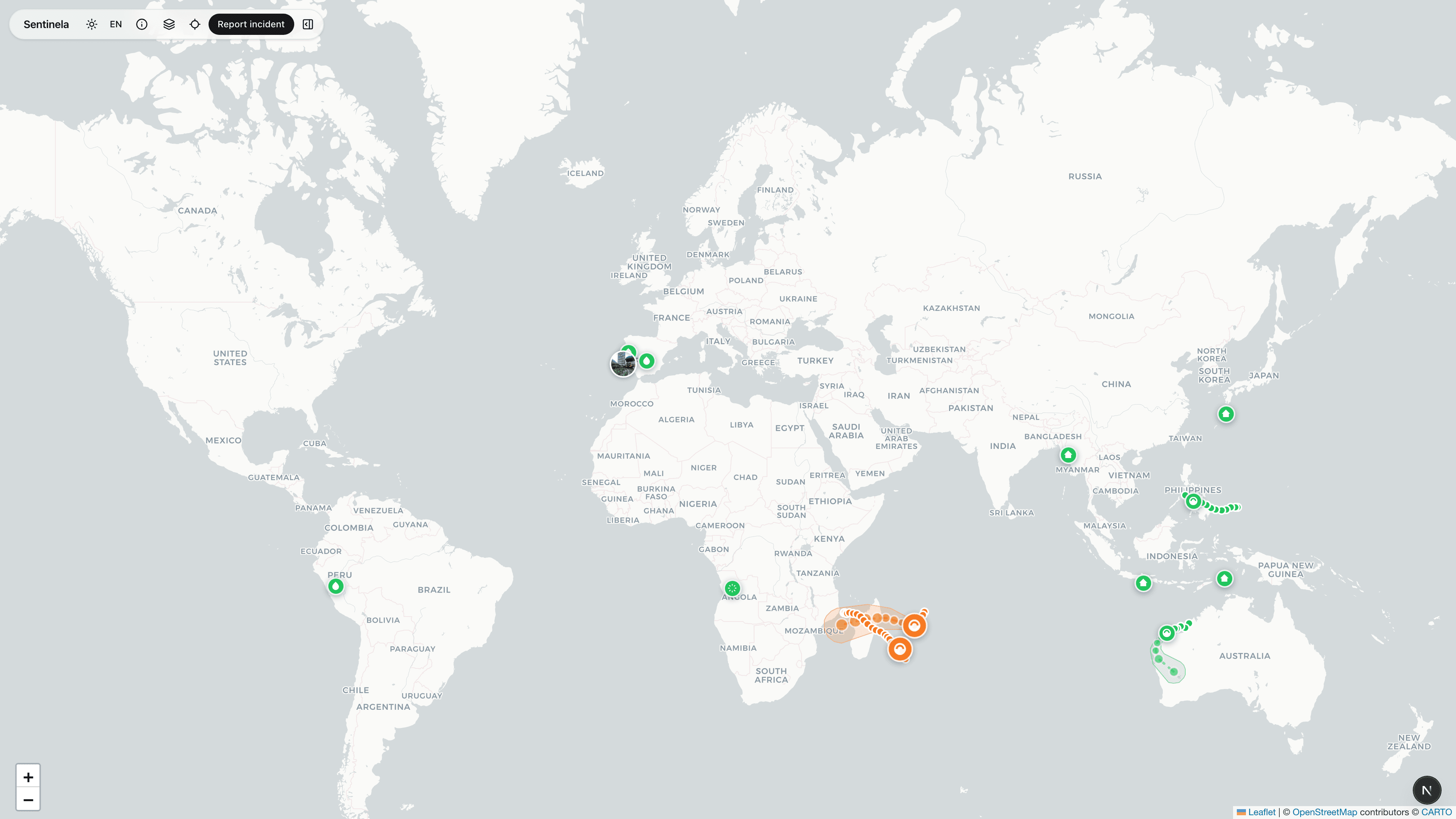
How Sentinela Uses This Data
Sentinela displays GDACS alerts for earthquakes, floods, tropical cyclones, volcanoes, wildfires, and droughts. Events are color-coded by alert level (Green, Orange, Red) and include severity estimates and affected population data.
Data Processing
We fetch the GDACS GeoRSS feed every 10 minutes. Events are parsed and displayed with appropriate icons for each disaster type. For tropical cyclones, we also display forecast tracks and wind radii when available.
Limitations & Considerations
GDACS focuses on events with potential humanitarian impact, so minor events may not be included. Alert levels are estimates and may be revised. Some disaster types have longer detection delays than others.