Active Fires
NASA FIRMS
Coverage: Global · Update frequency: Every 3 hours · Format: CSV/JSON
Overview
NASA's Fire Information for Resource Management System (FIRMS) provides active fire data from the VIIRS (Visible Infrared Imaging Radiometer Suite) and MODIS (Moderate Resolution Imaging Spectroradiometer) satellite instruments. These sensors detect thermal anomalies that indicate active burning.
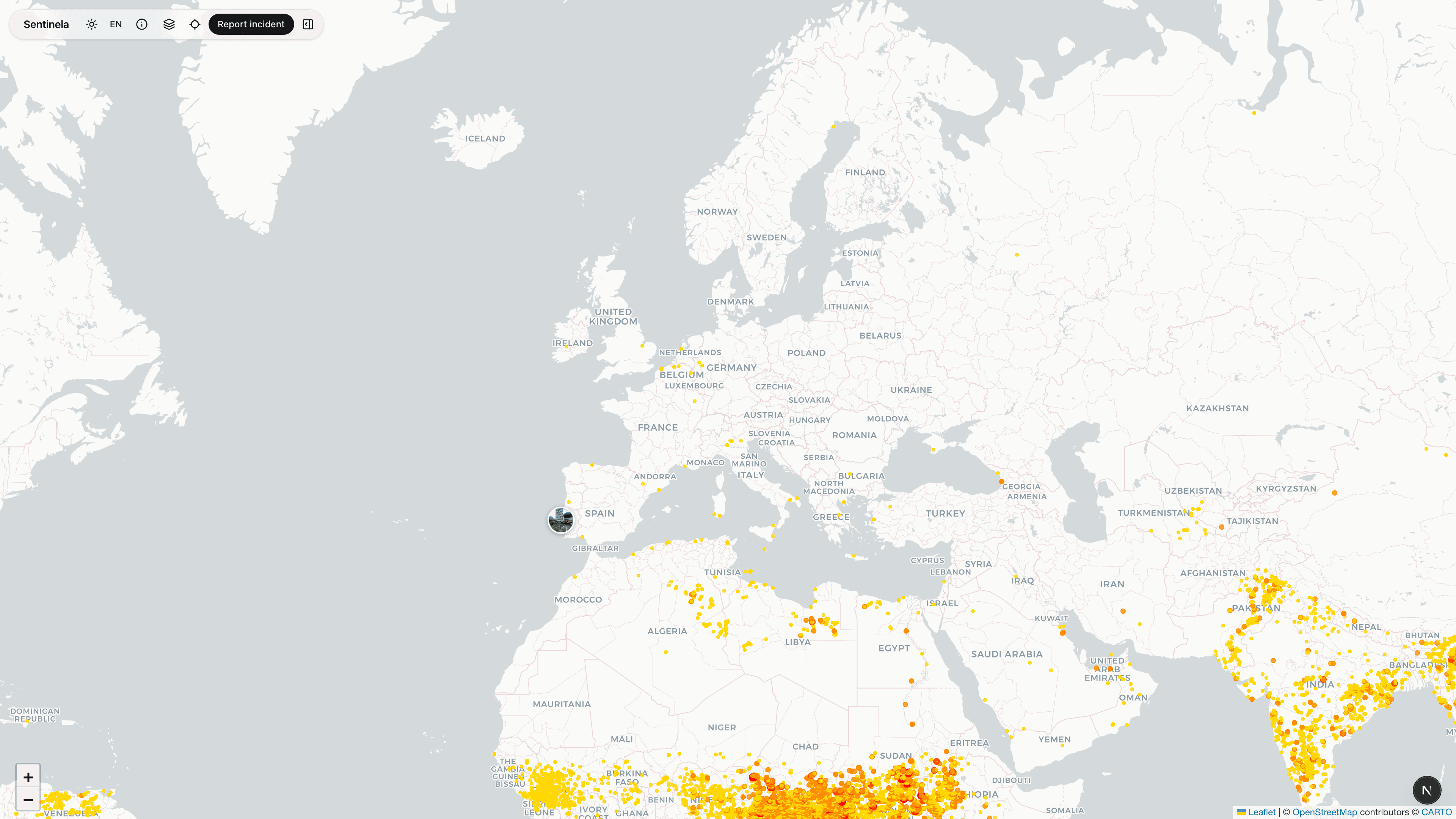
How Sentinela Uses This Data
We display fire hotspots as heat markers on the map, with brightness indicating fire intensity (measured in Kelvin). Each marker shows detection time, satellite source, and fire radiative power when available.
Data Processing
Fire data is fetched every 10 minutes from the FIRMS API. We filter to show only the last 24 hours of detections. Hotspots are clustered at lower zoom levels to improve map performance when many fires are active.
Limitations & Considerations
Satellites pass over each location only a few times per day, so there can be gaps in detection. Cloud cover can obscure fire detection. Small or low-intensity fires may not be detected. False positives can occur from industrial heat sources or sun glint.