Community incident intelligence
See local incidents as they form.
Community incident reporting with live weather and hazard context.
19+ live data sources
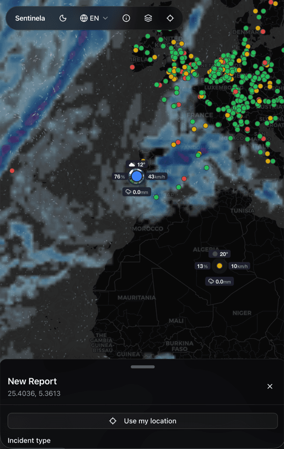
Built for mobile field reporting
Free and open source
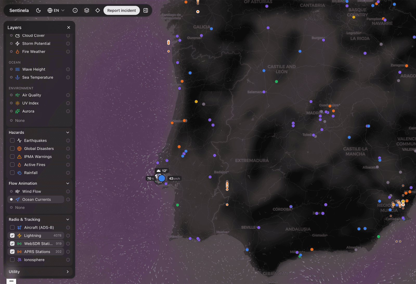


One map, many signals
Combine community reports with rainfall, lightning, seismic, fire, air quality, and other live overlays in one view.


Mobile-first field usage
Report, review, and navigate from the phone in your hand while conditions are still changing.


Actionable escalation flow
Move from observation to a structured authority notification without rewriting the incident from scratch.